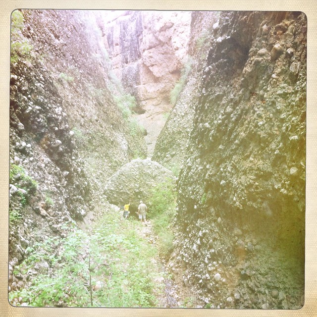
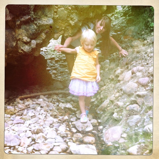
This past weekend we camped in the desert on one night, and at close to 10k feet the next. Only in Utah.
We followed
Bill and April down Hwy 6 to the San Rafael Swell where our destination was up on the actual swell (not in front of the reef like we typically do). The first area we stopped at was upper Crawford Draw. Crawford draw is a drainage/slot canyon that is at the "headwaters" to the long and deep
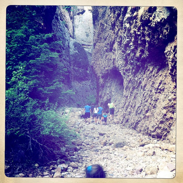
Straight wash/Eardley Canyon. It was amazing driving into the canyon Trailhead, crossing over the shallow wash which is crawford draw, only to see it faintly turn to a ditch, then abruptly come to a tall dry-fall and the slot begins from there.
We worked our way down into the slot and hiked as far as we could before we came to too many pools of water. We didn't really go very far, but for me it was neat to see the making of what becomes a very
DEEP canyon.
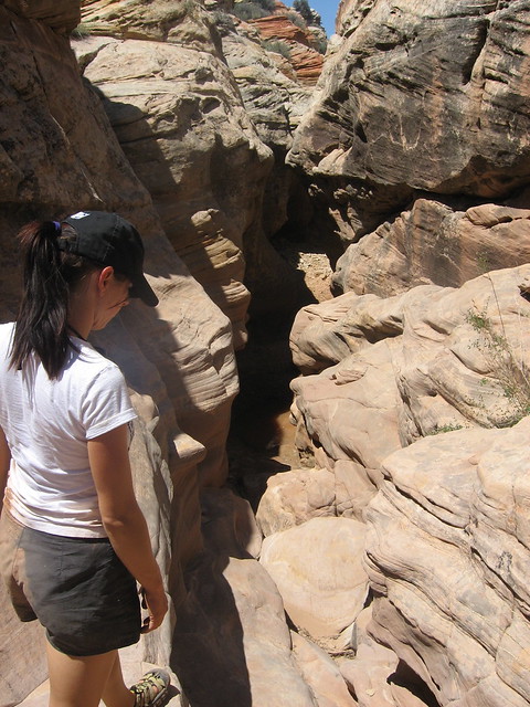
Working our way down into the slot
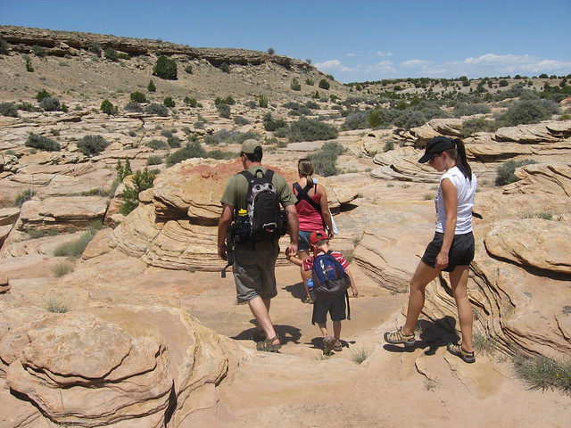
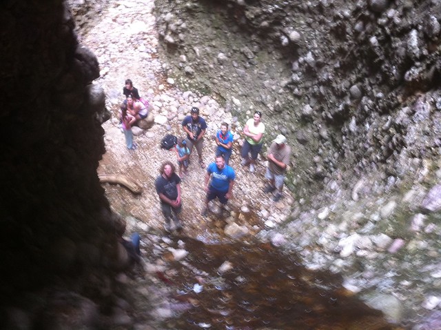
On the rim
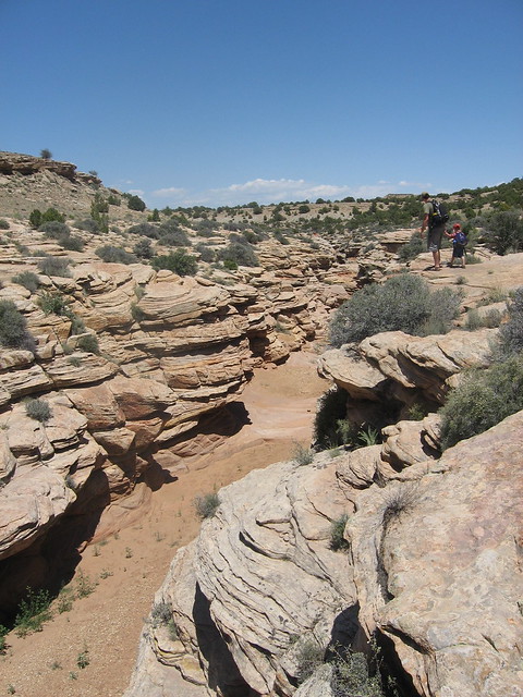
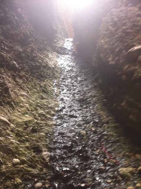
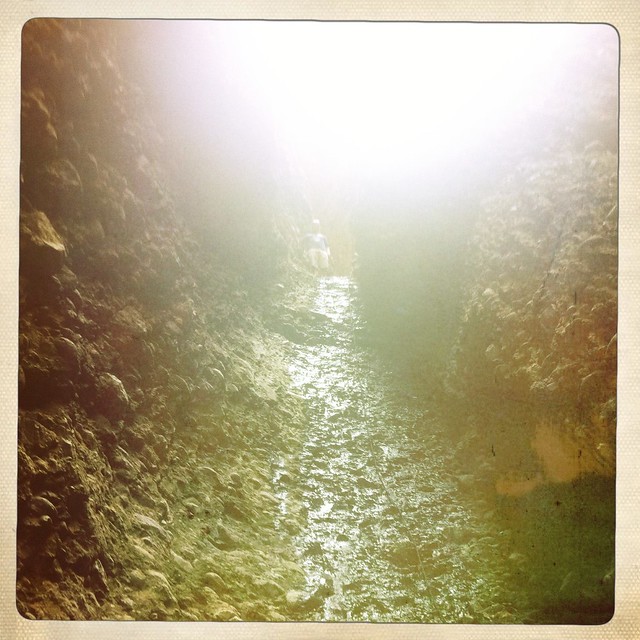
Inside Crawford draw
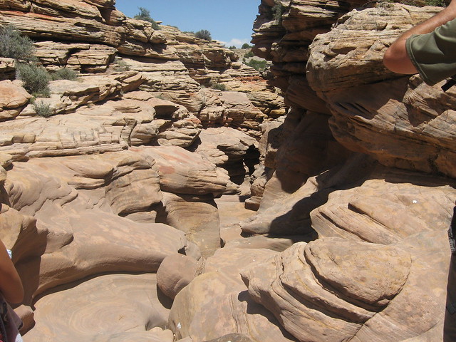
Getting close to water
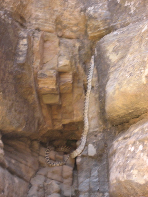
Saw a nice size snake slithering around (bad pic)
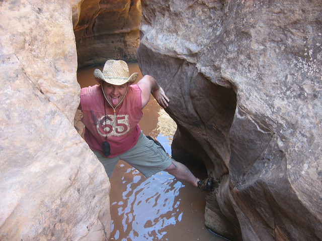
Trying to avoid the muddy slot canyon water (even though I'm wearing keens)
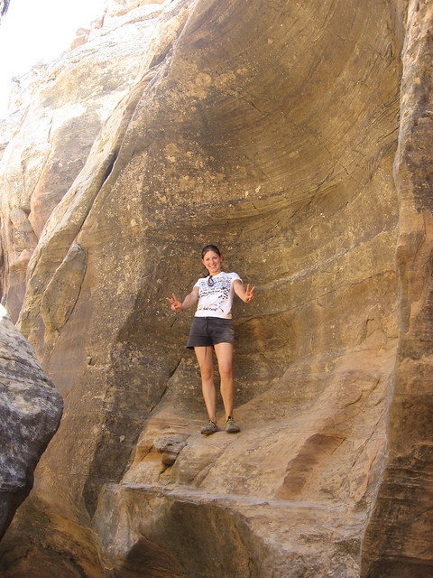
Alene tossing up her peace signs
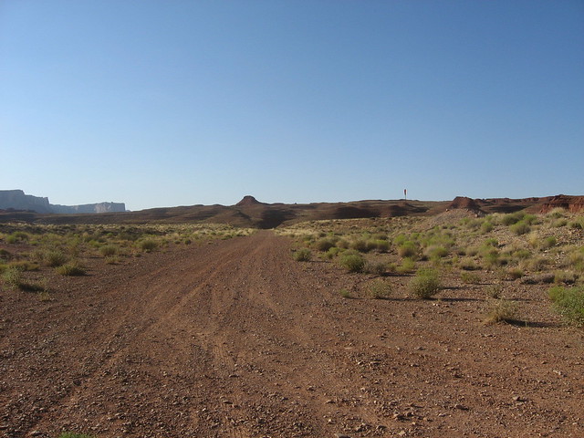
From Crawford draw we took a drive out to McKay flat and on over to the Hidden Splendor mine area. This was another area of the swell that Alene and I had never been to. I had read up about the old airstrip out here that is
still used occasionally. We parked a little past the air strip and April and Bill hung out while Alene and I went down into the Muddy Creek area and hiked back to the Hidden Splendor mine area to check out the mines and the "motel 6".
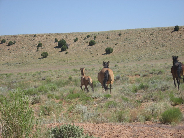
Some wild horses on the way out to Hidden Splendor
The airplane landing strip
Hiking down toward Hidden Splendor and Motel 6 along the Muddy Creek
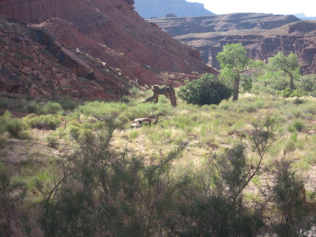
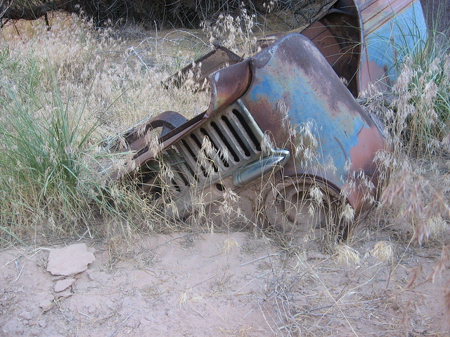
Near the mine; an old service truck/jeep
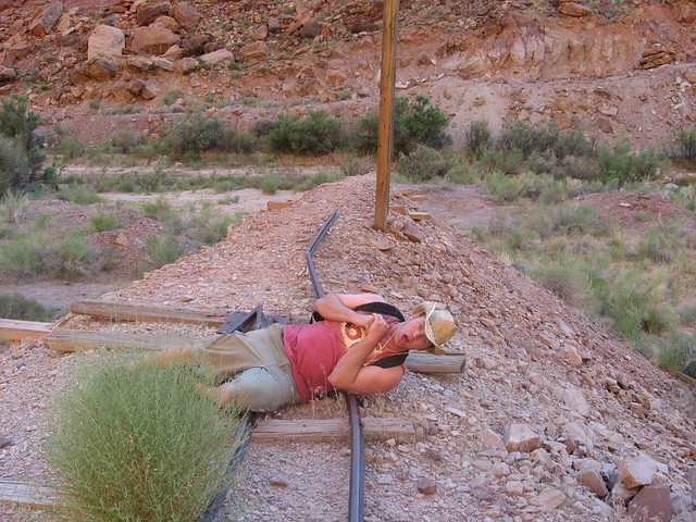
Adding a little drama to the hike :-)
Self portraits at the mine
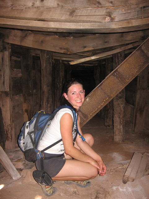
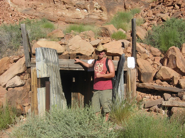
Visiting the Motel 6 - This is a row of old miners cabins (the swell is littered with them). Notice the mining claims nailed to the shack; someone is hanging onto hope that they can mine more uranium out here someday; I hope to hell it never happens.
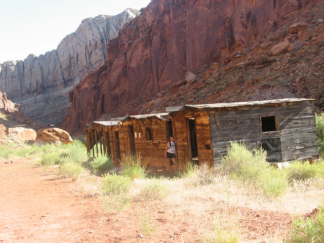
It's a bit of a fixer-upper, but nothing a little plywood and nails can't fix (and maybe some duct tape)
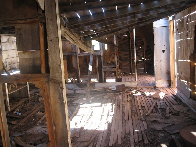
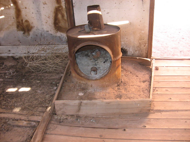
When we got back from our little jaunt Bill and April were anxious to get out of there because the gnats (or mosquitos?) were attacking like crazy being so close to the river, and it was mid-June and getting quite hot so we high-tailed it out of there to find a camping spot.
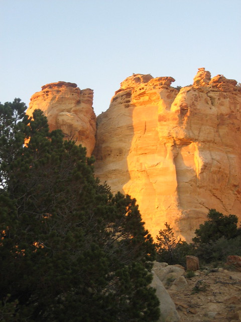
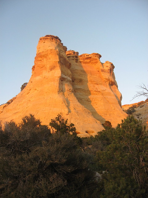
We ended up over at the Head of Sinbad on the north side of I-70 tucked back in this awesome campsite at the end of a long sandy road. The site was tucked in between two large sandstone cliffs and the back of it opened up to another large cliff that over-looked the Cactus flats area on toward Sids Mountain.
The sun setting was really lighting up the sandstone in the area
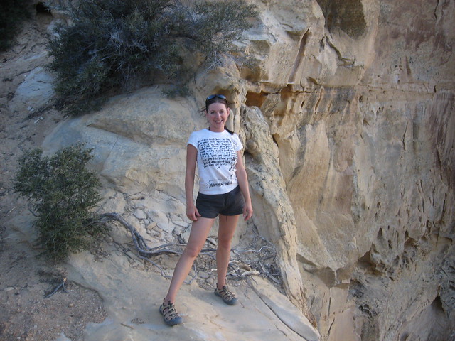
Alene at the cliff edge behind our campsite. This area offered an awesome view of the northern area of the swell
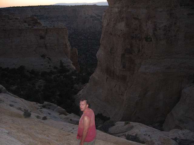
Hiking up above the campsite
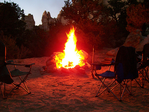
Can't have a camp without a picture of the fire (photo by
Bill)
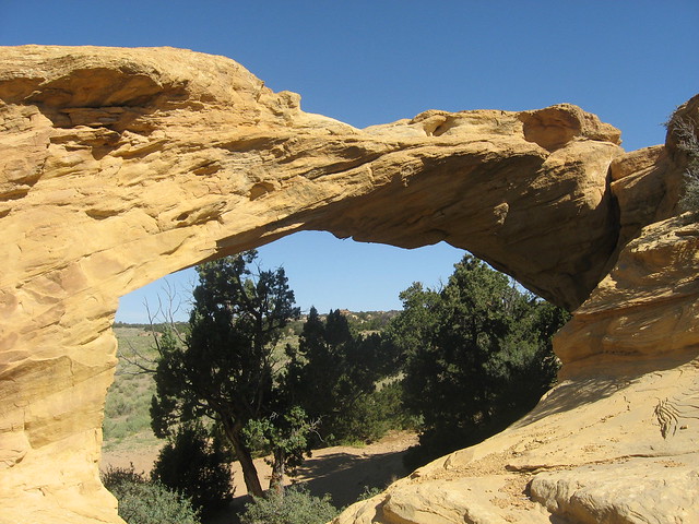
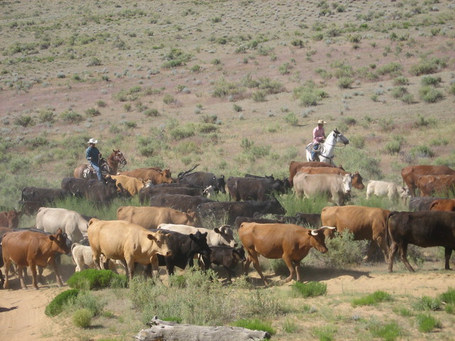
After a good nights sleep we got up and checked out the pictographs in the area, then ran over to see Dutchman Arch. While we were there we watched a cattle drive pass by.
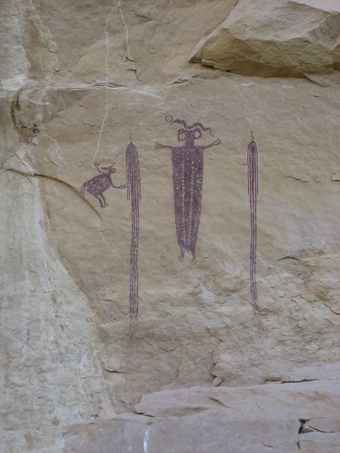
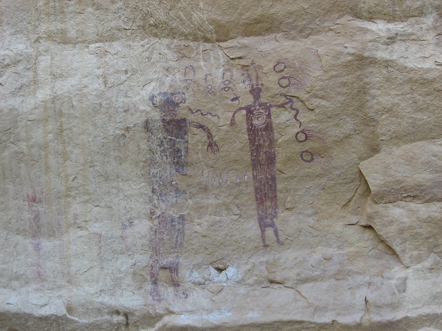
Dutchman Arch
The cattle drive
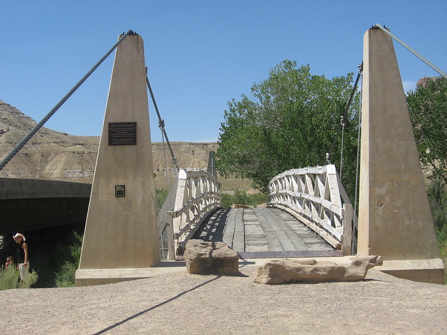
After the cattle drive passed by, we proceeded down Buckhorn draw road to check out the San Rafael River campground area along with the old CCC bridge, then on up Buckhorn draw onto higher country
Hanging out in the San Rafael River bottom. Hard to believe this thing gets flowing big enough to run Kayaks through
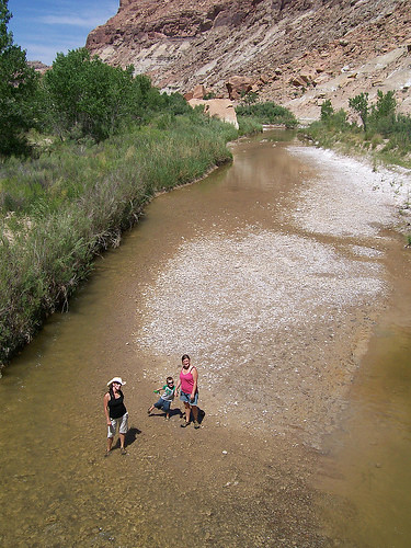
I was ready to do a cannonball, but the water clearly wasn't deep enough
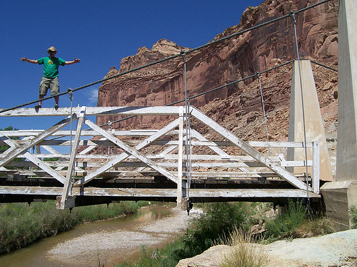
The old CCC bridge
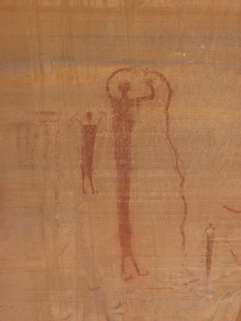
Buckhorn draw panel - The rest of my photos were washed out by the sun
Since it was so hot we opted to drive on through Orangevale on up to our favorite swimming lake: Joes Valley Reservoir. We weren't quite sure where we were going to camp this night, but we knew we could always camp up above Joes if we needed to as there are plenty of places to camp
We cooled off in the lake for quite a while (no pictures on this part of the trip), then headed on Westward up above Joes Valley driving on the Orangevale Rd, destination still un-known. While on our way up we saw several signs about bear warnings, suggesting to us that bears had been seen in the area. Keep in mind this was a week or so after that 10 year old boy was pulled from his tent in AF Canyon and killed, so we were a little nervous. We ended up at the top of the mountain just off Skyline drive in this small grove of pine trees and set up camp there.
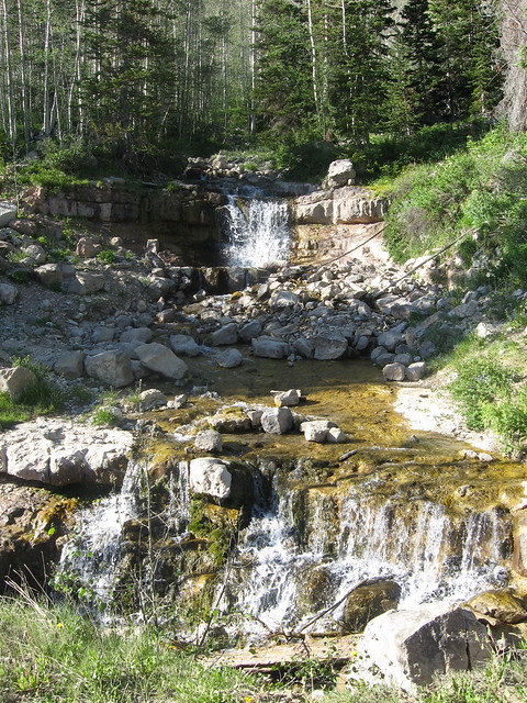
A little water fall on our way up the road
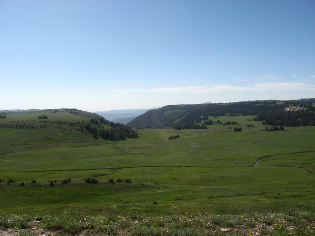
The view below our campsite, looking down on a rangers residence and to Joes Valley beyond
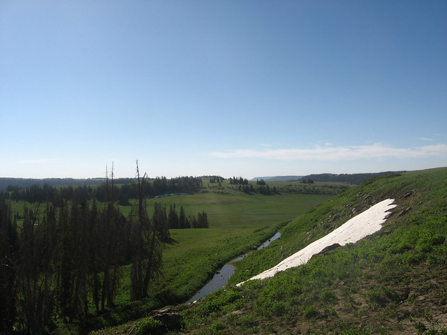
There was still a bit of snow in the area
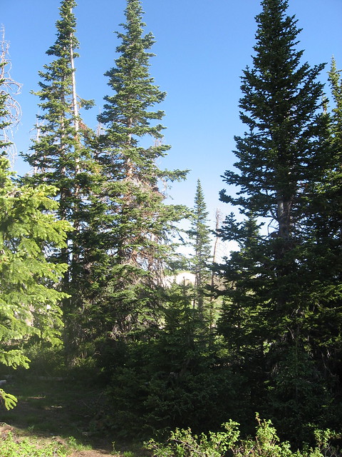
The grove in which we set up camp
The area around us was beautiful, not to mention my wife making this picture even more beautiful

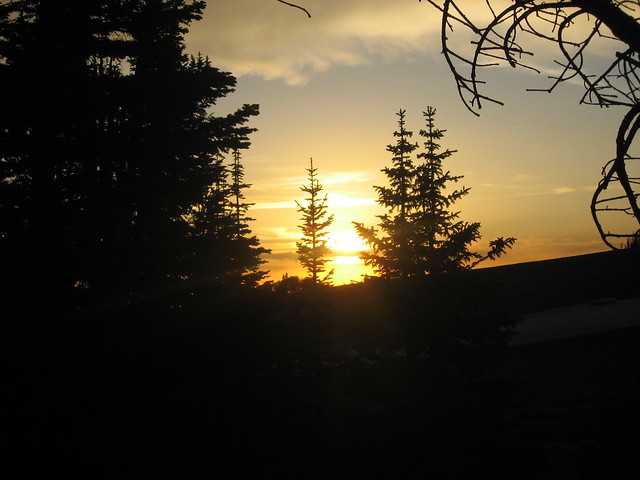
Sunset from our campsite grove
The next morning we got up early after a bad nights sleep (relating to bear paranoia) and headed on down Ephraim canyon, into Ephraim, and on home.
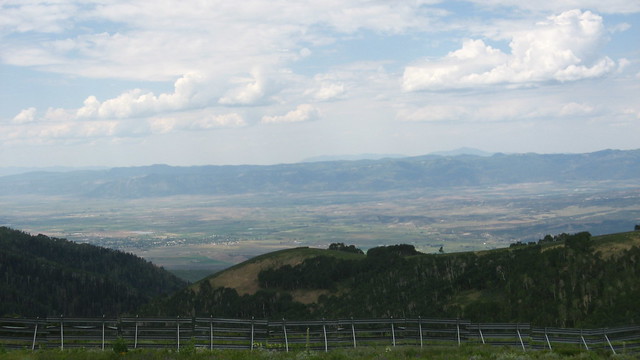
Looking down on the San Pete valley from skyline drive
In some ways, to me, this trip was kind of epic in that we saw a vast amount of scenery in two days. I kept thinking to myself where else one could be desert camping one day, then high mountain camping the next and it made me so grateful to live in this great state and be able to do this.